

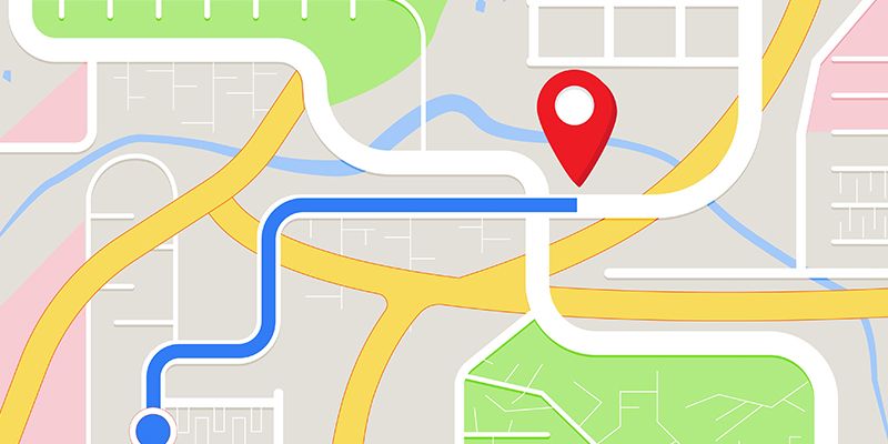
It wasn’t long ago that drivers relied on road maps or atlases to plan their routes to get where they needed to go. If they got distracted and missed a turn, they may have driven until something didn’t feel quite right, stopping at the next gas station to ask a local exactly where they were.
Top GPS Apps
- Google Maps
- Waze
- Apple Maps
- Footpath
- GPS Tracks
- Sygic
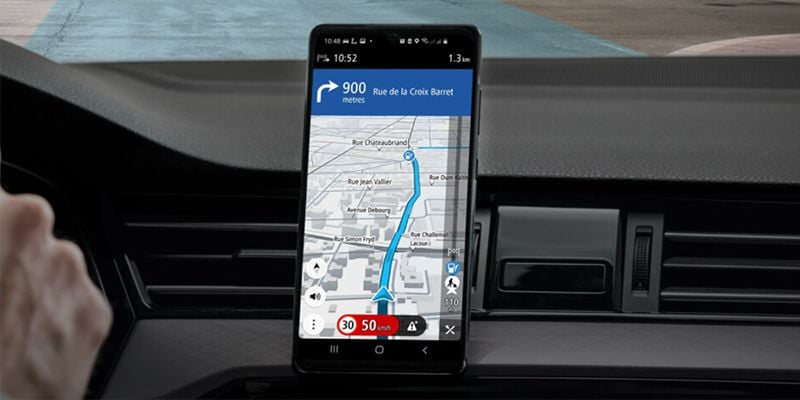
Now, people turn to smartphones, specifically to GPS apps, or global positioning systems, to guide them to where they’re headed next. By receiving signals from four or more of the 31 GPS satellites orbiting Earth, smartphones can figure out almost precisely where they’re located, making getting from one place to another as easy as popping in a destination and following turn-by-turn directions. With these apps and other advances in transportation technology, drivers can also be alerted to speed traps, accidents ahead and even what lane to drive in, so they arrive as safely and quickly as possible.
These GPS apps aren’t just for driving, they can be used for walking, hiking, biking and even navigating the open sea. And if you prefer to use public transportation, many of them can help you navigate bus and train lines.
19 Top GPS Apps for Navigation and Traffic
No matter the mode of transportation, here are a few GPS apps that help users navigate everything from busy highways to trails that are off the beaten path.
Google Maps
Price: Free
What this GPS app is used for: Daily navigation, road trips, public transportation
Google Maps, which first debuted on desktops before being made available as an app on the iPhone in 2007, was downloaded more than 25 million times in the United States in 2021, making it the most downloaded navigation app in the country, according to data from Statista. Updates in the works for the mapping service and app include a vibe feature, which uses artificial intelligence and input from local users to gauge how popular a neighborhood is, as well as an immersive view option, which allows users to explore famous world landmarks like the Acropolis in 3D.
Notable features: Allows users to save favorite locations, indicates popular areas, offers immersive 3D imaging
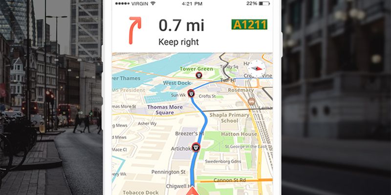
Waze
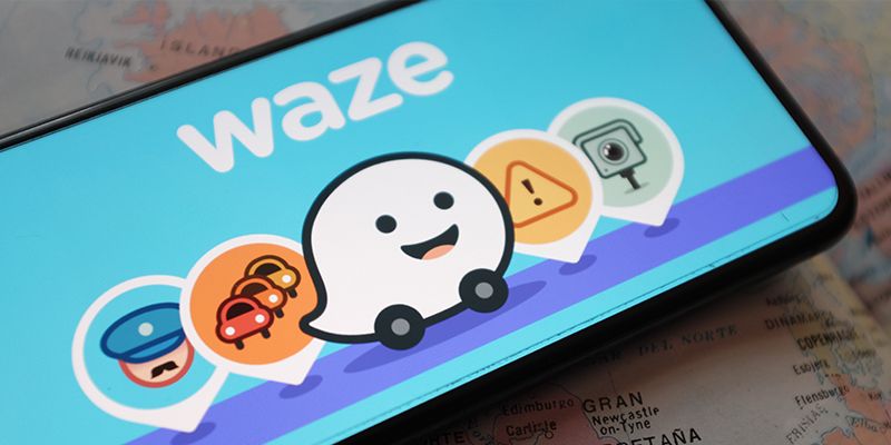
Price: Free
What this GPS app is used for: Daily navigation, road trips, traffic and gas price reports
Though acquired by Google in 2013, Waze’s GPS app is still separate from Google Maps, and a main rival to their parent company’s app as well as Apple Maps. With 140 million active users, Waze has created a data sharing program with local governments and municipalities to help cities obtain better traffic information and inform their planning efforts, according to CNBC. For drivers, Waze also features real-time traffic reports and gas prices, integration with other popular apps like Spotify for in-car entertainment, and gaming for social media.
Notable features: Sends alerts when there are reports of traffic stops and speed monitoring, integrates with social media and audio apps, changes routes instantly based on traffic
Apple Maps
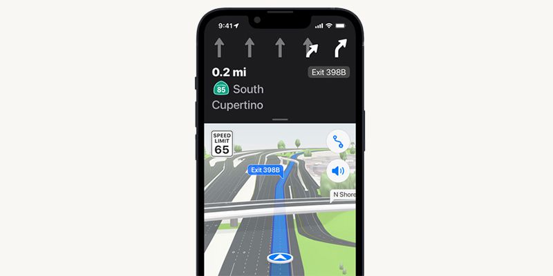
Price: Free
What this GPS app is used for: Daily navigation, public transportation, road trips
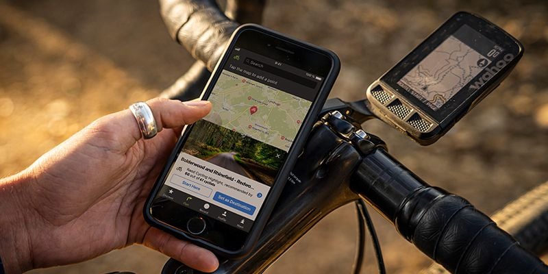
If you own an Apple device like an iPhone, saying, “Hey Siri, how do I get to …” is a pretty common way to access the device’s default navigation app, Apple Maps. Apple Maps, which debuted in 2012 — not without its hiccups — rivals other top navigation apps like Google Maps and Waze. Increasingly, it’s being used by cyclists looking for more bike-friendly routes that give preference to bike lanes, greenways and roadways with less traffic. Additionally, with the rollout of Apple’s new operating system, IOS 16, Apple Maps users can now plan driving routes with up to 13 stops, which is ideal for long road trips or days when you’re running a bunch of errands.
Notable features: Route planning with multiple stops, location saving, voice activation and command
CoPilot
Price: Free with in-app purchases
What this GPS app is used for: Long-distance trucking and shipping, daily navigation
CoPilot is a GPS navigation app that can be tailored for cars, trucks and RVs. The app offers offline navigation assistance, turn-by-turn directions and multi-stop route planning. For RVs and tractor trailers, the app is capable of calculating the most efficient route based on the size of the vehicle, as well as its load. The app also offers real-time traffic updates and warns drivers of any potential delays and alternate routes.
Notable features: Fleet navigation, offline navigation, routing for RV vehicles, real-time traffic updates, multi-stop and fuel-efficient route planning
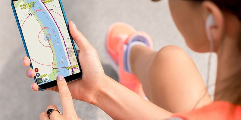
Footpath

Price: Free and subscription options ($24/yr., $4/mo.)
What this GPS app is used for: Outdoor sports
Developed for walkers, hikers and runners, Footpath can be paired with other smart devices, like an Apple Watch. It’s able to provide offline navigation in case you lose cell coverage, by caching — or downloading for premium users — any maps you view. Footpath is also capable of capturing a GPS track of your walk or run, and can be synced with other popular workout services, like Strava.
Notable features: Smart device and app integration, offline navigation, hand-drawn mapping
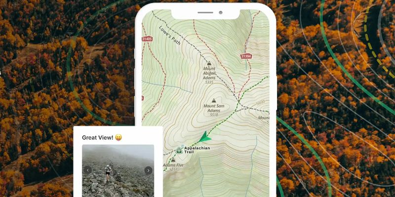
Gaia GPS
Price: Free and subscription options (starting at $2.99/mo.)
What this GPS app is used for: Outdoor sports
Gaia GPS is geared toward outdoor enthusiasts and offers maps for hiking, skiing and off-roading. The basic version of the app allows users to access maps, create routes and record their activities, while premium versions include capabilities ranging from trail guides to in-app weather and terrain features that measure snow depth and cell service.
Notable features: Offline navigation, weather and terrain reports, activity recording, hand-drawn route creation
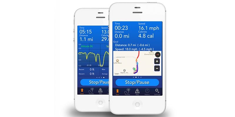
GPS Tracks
Price: Free with in-app purchases
What this GPS app is used for: Outdoor sports
Another navigation app geared for those who like to hike, walk and bike, GPS Tracks sources its mapping tools from the likes of the United States Geological Survey, National Oceanic and Atmospheric Association, the Federal Aviation Administration and others. The app is capable of capturing traveled routes and users can also store locations to which they may want to return. Maps can also be saved for use offline, where cell coverage is limited.
Notable features: Route and map saving, activity recording, location saving, weather and terrain reporting, smart device integration
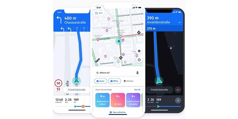
HERE WeGo
Price: Free
What this GPS app is used for: Fleet navigation, daily navigation, public transportation, road trips
HERE WeGo is a navigation app that allows users to run trip simulations and has the capability to warn drivers when they’re exceeding speed limits. Users can add waypoints like restaurants and pit stops for snacks or bathroom breaks along planned routes. For electric vehicle owners, the app shows where charging stations are located and can also provide public transportation options.
Notable features: Sends alerts when drivers are going too fast, multi-stop route planning, travel website integration, location saving, electric vehicle route planning
Karta GPS
Price: Free with in-app purchases
What this GPS app is used for: Daily navigation, road trips
With routing technology that considers traffic flows and red light camera warnings, Karta GPS is another navigation app helping drivers get to their destination efficiently. The app also features downloadable maps, turn-by-turn directions that can be voiced by former U.S. presidents, and dining suggestions based on locations. In Europe, the app is capable of warning drivers of cars traveling toward them in the wrong direction.
Notable features: Speed zone warning alerts, offline navigation, smart search, restaurant suggestions, downloadable maps
Komoot
Price: Free to get started (in-app purchases and premium subscriptions available)
What this GPS app is used for: Outdoor sports
Komoot helps users navigate hiking trails, bike tours and other outdoor trips. The app has downloadable pre-planned routes based on activity for users to choose from, or users can plan or download their own custom hike or bike ride for offline access. Komoot also guides users with voice navigation and allows users to log “highlights” of trips with photos and text that other Komoot users can see for inspiration.
Notable features: Social media features for saving trip highlights, downloadable maps, customizable route planner
Locus Map
Price: Free
What this GPS app is used for: Outdoor sports
Locus Map essentially lets users create their own custom app, allowing them to adjust the app’s home screen with the features and options they prefer, like speed and altitude display. With offline functionality and downloadable maps, Locus Map also allows users to record their routes and share to other services, like Strava. A Live Tracker feature is also available that can share users’ GPS position publicly or with friends and loved ones, so they can keep tabs from afar.
Notable features: Offline navigation, downloadable maps, external app and social media integration, location sharing
Magic Earth
Price: Free
What this GPS app is used for: Daily navigation, public transportation, road trips
Featuring crowd-sourced traffic updates, 3D mapping and public transportation options, Magic Earth also provides drivers lane guidance so they know exactly which lane they need to be in for maximum efficiency as well as turn-by-turn directions. The app also features 2D maps for pedestrians, mapping options designed for cyclists and satellite maps that are accurate within 3 inches.
Notable features: 3D mapping, offline navigation, crowd-sourced traffic reporting, smart device integration
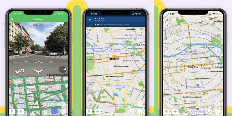
Maps.me
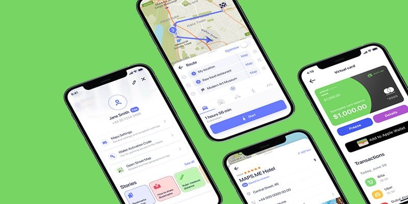
Price: Free with in-app purchases
What this GPS app is used for: Daily navigation, road trips, public transportation
Maps.me is a GPS app that comes with travel guides and offline navigation capabilities for driving, walking and public transportation. With 60 million users, according to its website, the app also features a collection of attractions, business, hotels, retail stores and health-related options for users to access and learn about.
Notable features: Offline navigation, travel guides and recommendations for restaurants, lodging, services and attractions
MapFactor
Price: Free
What this GPS app is used for: Daily navigation, road trips
While MapFactor is similar to many of the other GPS apps available, the app differentiates itself by offering a head-up display option for night driving. Essentially, users can place their phone on their dashboard and a see-through hologram-like image displays on the windshield directly in your line of sight. (Similar displays are used in fighter jets.) The app also offers live traffic updates, speed and red light camera alerts, and an option to load vehicle information to inform routing so drivers don’t have to worry about navigating terrain their car is ill-equipped to handle.
Notable features: Hologram display for night driving, live traffic updates, speed and red light camera alerts
OsmAnd
Price: Free with in-app purchases
What this GPS app is used for: Daily navigation, road trips, outdoor sports
OsmAnd is a GPS app with turn-by-turn guidance using either recorded or synthesized voices that also alert drivers to upcoming stop signs, crosswalks and speed limits. The app also displays street names and features lane guidance. Offline map access for hiking and biking are also available.
Notable features: Offline navigation, travel maps, 3D mapping, alerts for traffic warning, crosswalks and exceeding speed limits
Seapilot
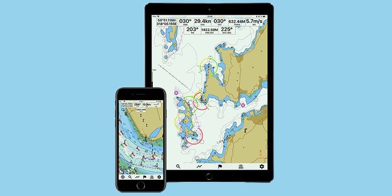
Price: Free and subscription options ($39.99/yr.)
What this GPS app is used for: Nautical navigation
Seapilot is one of the most popular GPS apps for navigating the ocean. It integrates data from the Automatic Identification System so users can see where other ships or boats with AIS transponders are traveling on nautical charts. The app also provides real-time weather data as well as forecasting and routing based on the weather, along with technology to prevent collision with other vessels and a social feature so users can find nearby friends while out at sea.
Notable features: weather forecasting, global sea charts, social media integration, weather routing
Strava
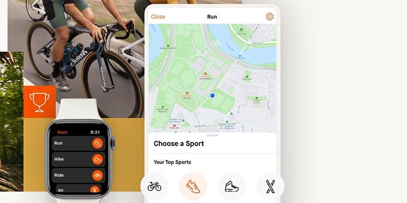
Price: Free
What this GPS app is used for: Outdoor sports
A popular app used by runners and cyclists, Strava mixes GPS navigation with social media, workouts and competitions. With more than 100 million users, according to its website, the app also keeps track of individual performance metrics and hosts cycling and running clubs users can join. A safety beacon option is available that can be shared with others while users are running or biking, and the app is loaded with pre-planned routes on trails and roadways for users to choose from, with a heatmap feature displaying the popularity of a given route.
Notable features: Social media integration, location sharing, pre-planned routes, heat mapping
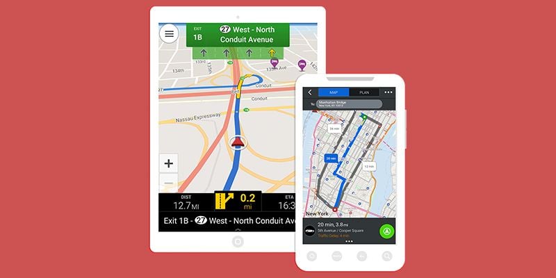
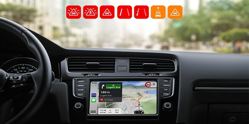
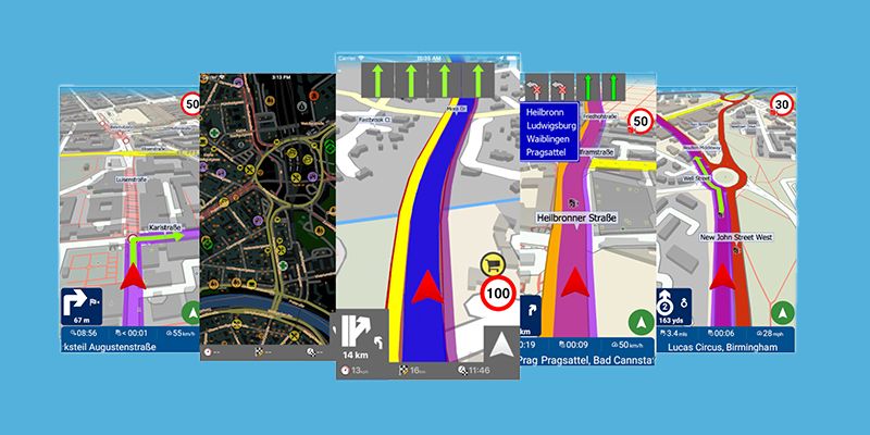
Sygic
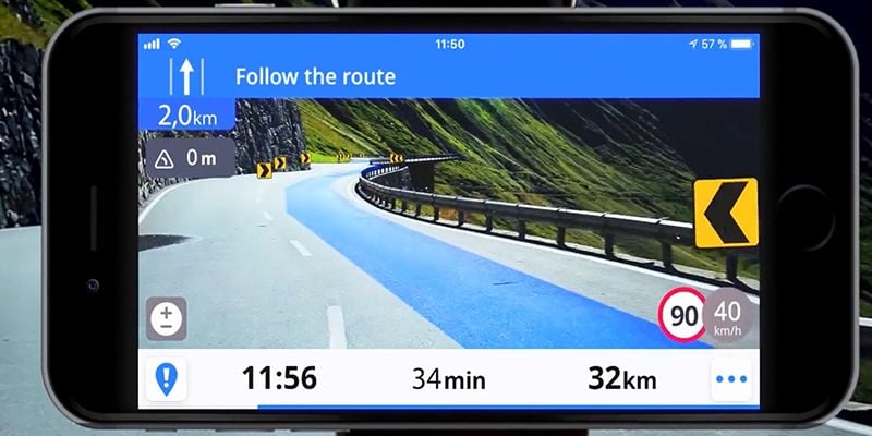
Price: Free and subscription options (starting at $18.99/yr.)
What this GPS app is used for: Daily navigation, road trips, fleet navigation
More than 200 million drivers use the GPS app Sygic, according to the company’s website. The app features 3D maps and a head-up display option for night driving. Sygic is also equipped with an augmented reality feature that blends a live view of the road from the smartphone’s camera, blending it with driving directions so drivers always have eyes on the road even when looking at their phone. Additionally, the app is capable of recognizing and identifying roadway signs when a driver’s smartphone is mounted on the windshield. And a “cockpit” feature displays real-time information about the vehicle and driving conditions like altitude. It even measures G-force to guide drivers on how to accelerate through corners safely and efficiently.
Notable features: 3D mapping, holograms for night driving, driving condition alerts
TomTom Go Navigation
Price: Subscription options (starting at $4.99/mo., $29.99/yr.)
What this GPS app is used for: Fleet navigation, daily navigation and road trips
The GPS app by TomTom Go Navigation allows drivers to enter the size of the vehicle to receive tailored routes and guidance. Drivers can also enter the maximum speed they’re comfortable driving to update their estimated time of arrival. Like many other GPS apps available, TomTom Go’s app offers lane guidance, live traffic and speed limit information as well as nearby parking options.
Notable features: Live traffic and speed monitoring alerts, parking alerts, offline maps, smart device integration


