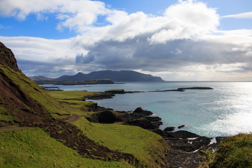
While The Small Isles of Scotland are indeed small islands, they’re nonetheless making a big splash in drone technology. Smithsonian.com reports that the islands of Canna and Sanday, separated by only a tidal channel, are now the world’s most precisely mapped islands, according to the BBC. The result? Thousands of years of archaeology in shockingly rich detail.
The outlet reports that GeoGeo, a mapping firm based in Glasgow, conducted a detailed drone survey of the islands on behalf of the conservation charity National Trust for Scotland. Five days of drone flights yielded 4,000 ultra-high-resolution images and 420 million data points.
“This not only shows detailed topography and vegetation at a game-changing three centimeters [1.18 inch] resolution but, with over 420 million data points, is currently the world’s largest complete island dataset captured by drone.”
Data analysis using a proprietary supercomputer was then used to create a richly detailed 3D map of Canna and Sanday. “This not only shows detailed topography and vegetation at a game-changing three centimeters [1.18 inch] resolution but, with over 420 million data points, is currently the world’s largest complete island dataset captured by drone,” Paul Georgie, founder and lead geospatial technologist for GeoGeo says in a press release.
Insights from the map include previously missed remnants of the “rig and furrow” agriculture from the Bronze Age.
“The detail is simply astounding – aerial surveys for archaeology have been around since the end of World War Two but this new technology takes everything into a completely new realm, being considerably more detailed, affordable and flexible,” said Derek Alexander, head of archaeology at the National Trust for Scotland, in the press release.
Bird-drone incidents were dreaded, but luckily the drones did not disturb the golden eagles and white-tailed sea eagles who call the area home.
Archaeologists are now using the data to update the islands’ archaeological inventory and plan future excavations.


